Side Menu BeginsSkip Side Menu to View Content
Side Menu Ends, main content for this page beginsBack to Side Menu (includes search)
2026
February
January
2025
December
November
October
September
August
July
June
May
April
March
February
January
2024
December
November
October
September
August
July
June
May
April
March
February
January
2023
December
November
October
September
August
July
June
May
April
March
February
January
2022
December
November
October
September
August
May
April
March
February
January
2021
December
November
August
February
2020
December
September
August
March
January
2019
September
August
June
2018
November
April
March
February
January
2017
November
October
August
May
6th Grade Social Studies
Posted on: October 13, 2023

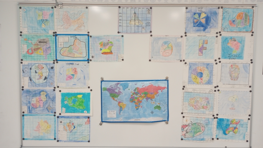
Students learned about different types of maps as well as how to use latitude and longitude. Each class was divided into groups of 5 or 6 and were tasked with creating their own country, determining where in the word their country would be using latitude and longitude. They had to create a political map, including the 5 parts of a map. They also use the latitude of their country to determine the climate of their country. Each group presented their map and country using a Google slide presentation.


